PPL training - Landings 4
| 2 minutes read, 393 wordsThe next lesson on the plan was more landings, but this time on a different airport. The plan was to fly to Stord Lufthamn, Sørstokken, and then do a lot of touch and go there.
This meant that I got to make my first navigation plan/log!
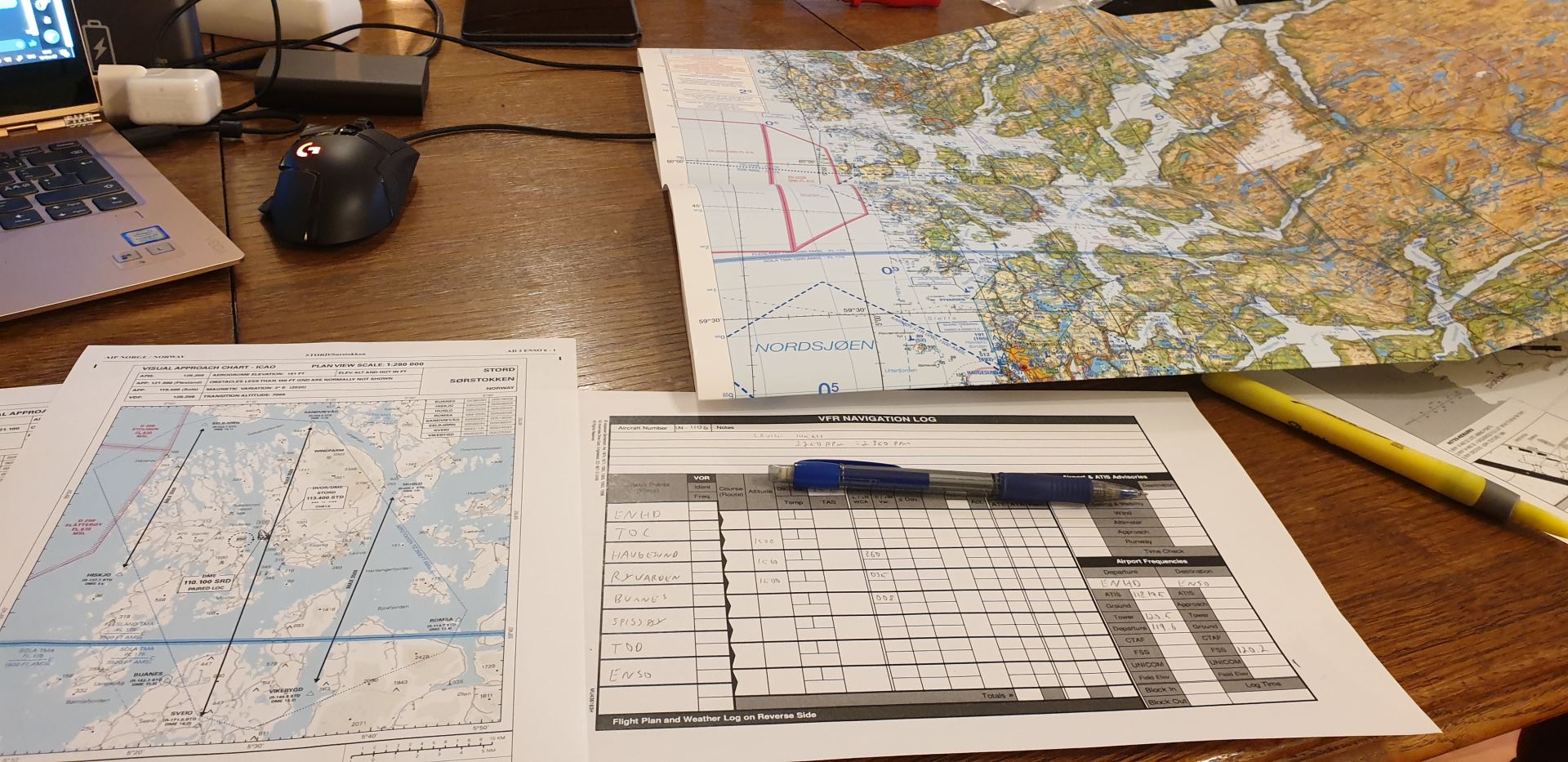
This was a bit overwhelming, especially since the theory book didn’t really cover much of it.
But I learned a lot from this video from FLY8MA, and was able to finish my plan:
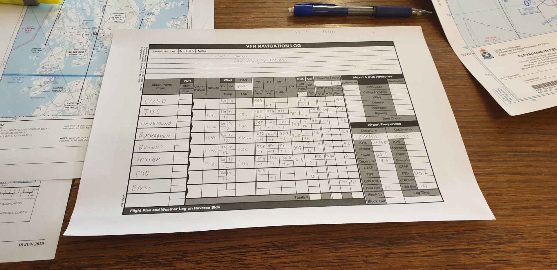
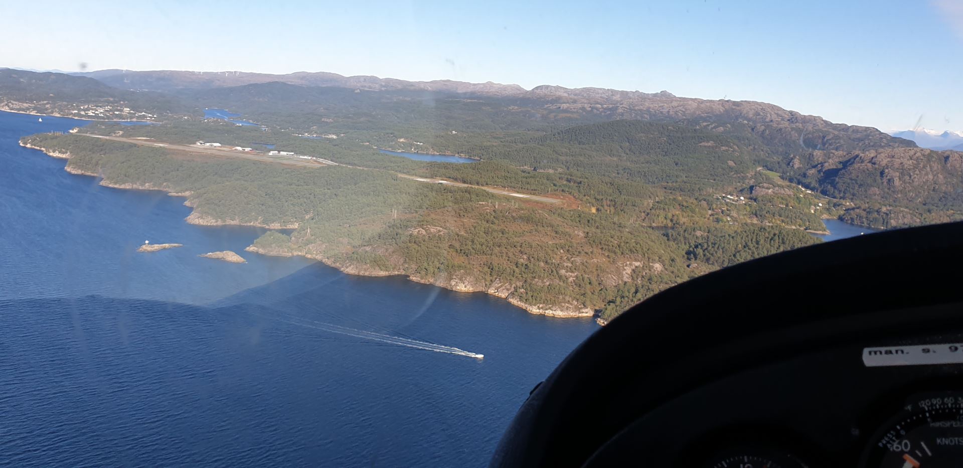
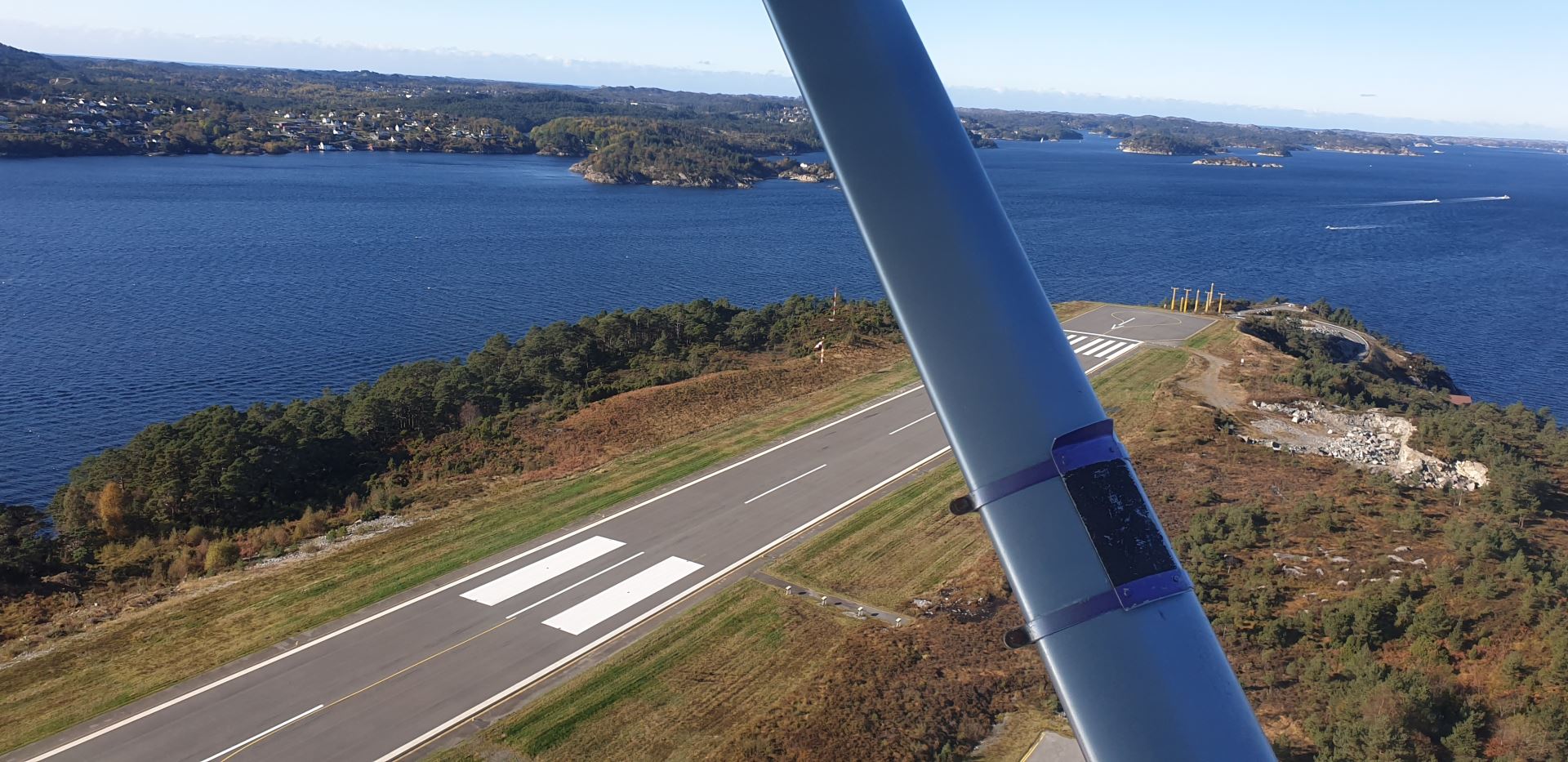
This was only a quick 15 minute flight, but my plan worked! We arrived at Sørstokken as planned, and started the pattern training there. When we were doing the approach checklist, I realized that I had forgot to turn off the landing light.
Sørstokken doesn’t have a control tower like Karmøy, only flight information services (AFIS). So this was a new experience for me. Instead of clearances, we just gave position reports, and got information in return.
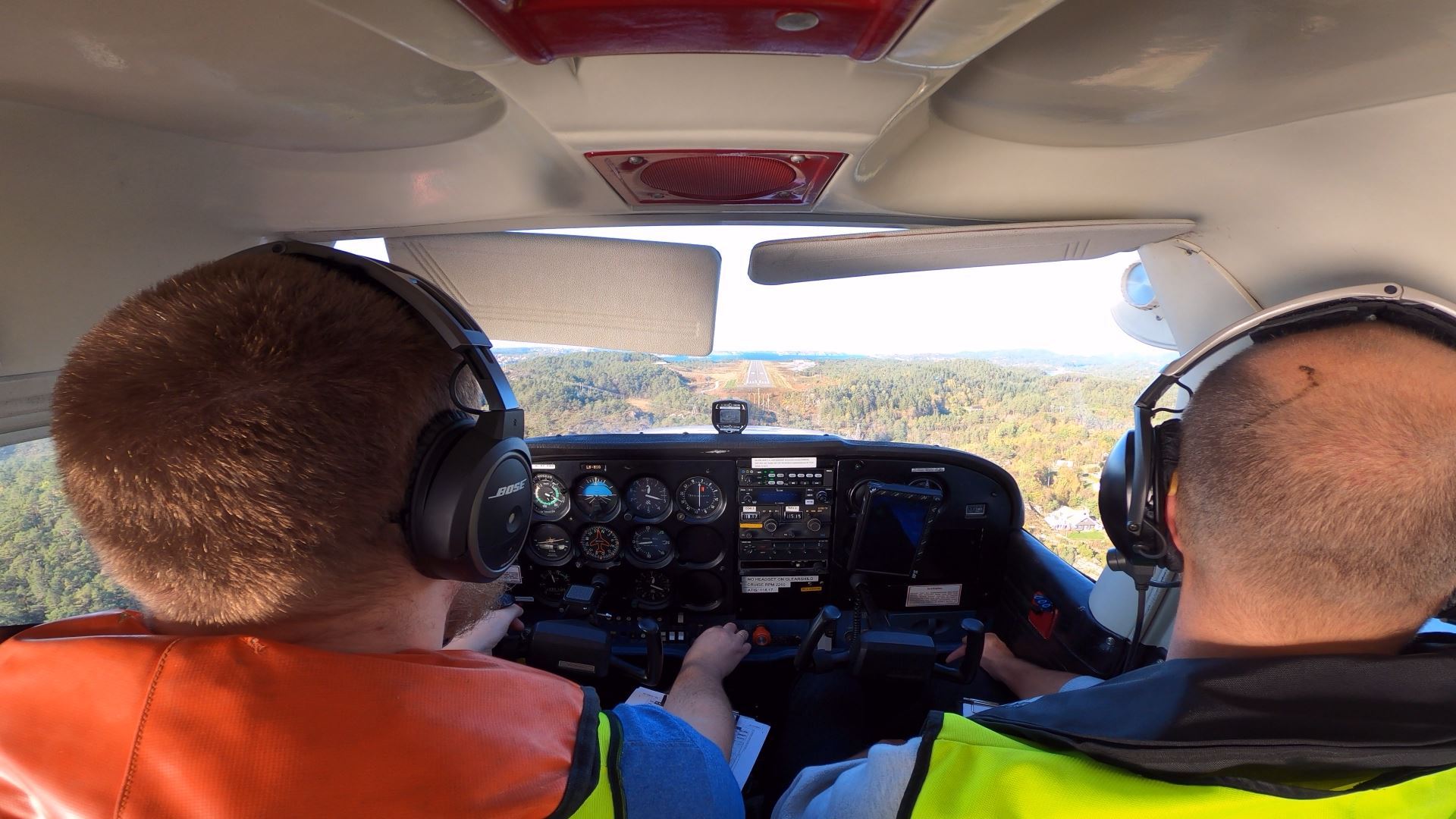
The landings weren’t too bad, but I still have a tendency to land to the left of the center line.
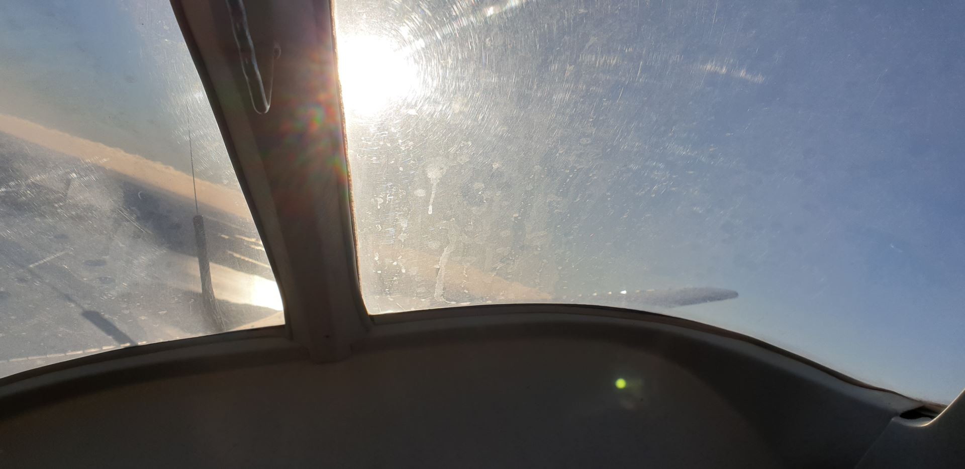
A couple gusts on short final on one of the landings made the approach way too unstable, so I executed a go around. It didn’t feel right, so I made the decision, applied full power, and started a climb. Knowing that I was the one to make the decision, and then do it felt great!
Sørstokken is not a very busy airport, but the only scheduled traffic this day, was of course at the same time as us. But this was a perfect training moment, since I’ve never dealt with traffic at an uncontrolled airport before.
After we finished the training, I switched to my new iPad and SkyDemon for the navigation back to Karmøy. Since this is what I’m most likely to use after I’m done, I want to learn navigation using this tool as well. Doing one part on paper, and the other digital, is a really nice way to learn both things.
I forgot to listen to the updated ATIS, but other than that, the return to Karmøy was uneventful. When we were back, I got to ride in the backseat during a discovery flight with a colleague, which is always nice!
I was supposed to have another lesson after that, but the winds picked up too much, so we had to cancel.
Gallery
